
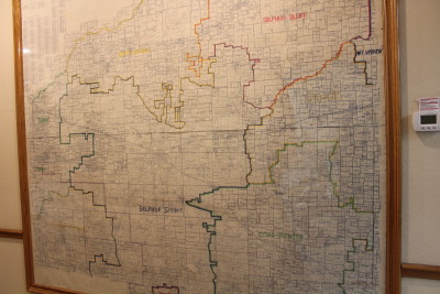
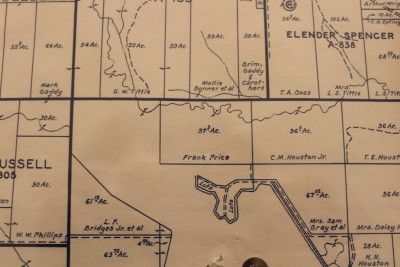
What is it about old maps that fascinate people? At my office, we have a large, 1956 map of our county that shows each survey and parcel of land and who owned the property at the time. We use it for research, but our customers enjoy locating their property or a tract of land their grandparents owned.
I think it is pretty cool to see who owned the land where I live (the Anglins), and to see my grandfather’s name (Frank Price) on land not too far from my home.
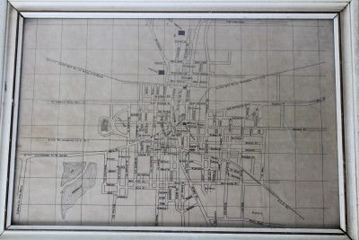
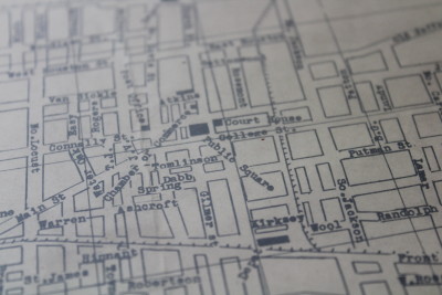
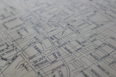
The map above is one that I purchased on ebay. The seller, located in California, stated that it was from the estate of a 90 year old man who was born in Sulphur Springs. He thought it probably dated to the 1910s or earlier. There were no markings as to the date or maker.
When I was in the Rotary Club of Commerce, Texas one of the most enjoyable programs I heard was presented by David Gibson, the Church of Christ preacher and a fellow club member. His presentation was on Commerce streets. He had researched them and was able to tell us about the longest street and the shortest street, all streets with a royal name, streets named after families, the oldest street, and the newest street. He told us how many streets were in Commerce and every imaginable interesting fact such as which street had the most homes and which ones had had name changes. I am sure he looked a quite a few old maps to gather that information!
I remember in elementary school one of the things we had to learn was how to read a map. I recall that we had to use that knowledge on the Achievement Test at the end of the year. And yes, that was one of my favorite things to learn! I am pretty good with maps and enjoy poring over them. Do they teach children how to read maps in school these days?
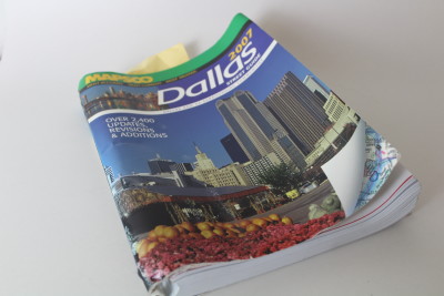
There used to be a map of Dallas in my glove compartment at all times, but no one does that anymore. Many of us have GPS on our cars, which tells us how to get where we are going. No need to keep the Dallas Mapsco, which was the last map I purchased.
I guess as maps become more rare, the few left might be entertaining for young people. It will be a bit like a rotary phone or mimeograph machine…an interesting artifact of a bygone era.

I remember taking a road trip with my husband and being his map reader….we had so much fun on that trip. It will always be one of my favorite memories.
Ah, road trips are the best! It seems the older I get, the fewer road trips I get to go on though. I tend to be the one navigating with my iPhone as my husband drives! Not quite the same. Good to hear from you!